Use Web Map Service (WMS) Servers
In Tableau Desktop, you can connect to map servers with the Web Map Service (WMS) protocol. WMS is a standard protocol for requesting and receiving geographically referenced imagery.
You can connect to any WMS server that supports the WMS 1.0.0, 1.1.0 or 1.1.1 standards.
Connect to a WMS server
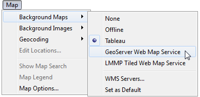
In Tableau Desktop, select Map > Background Maps >WMS Servers.
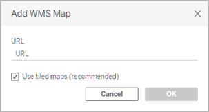
In the Add WMS Servers dialog box, type the URL for the server you want to connect to in Tableau, and then click OK.

You can add as many map servers as you want to a workbook. Each WMS server you add appears as a background map in the Background Maps menu.
Save a WMS server as a Tableau map source
After you add a WMS server to your workbook, it is saved with the workbook and available to anyone you share the workbook with. You can also save a WMS server as a Tableau Map Source (.tms) file, which you can share with others so they can quickly connect to it and use it in their own workbooks.
For more information about how to save a map as a Tableau map source, see Save a Map Source(Link opens in a new window).
Use a WMS background map
After you connect to a WMS server, you can create a map view using the WMS background map that Tableau creates.
To create a map view using a WMS server:
In Tableau Desktop, select Map > Background Maps, and then select a WMS background map to use in the view.

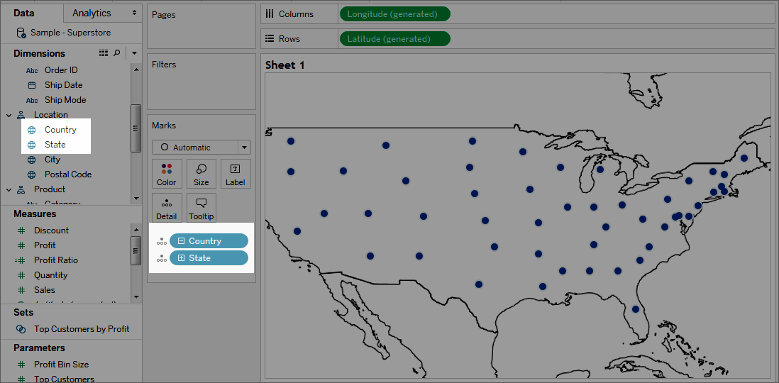
Add a geographic field to the view.
For more information, see Mapping Concepts in Tableau(Link opens in a new window).

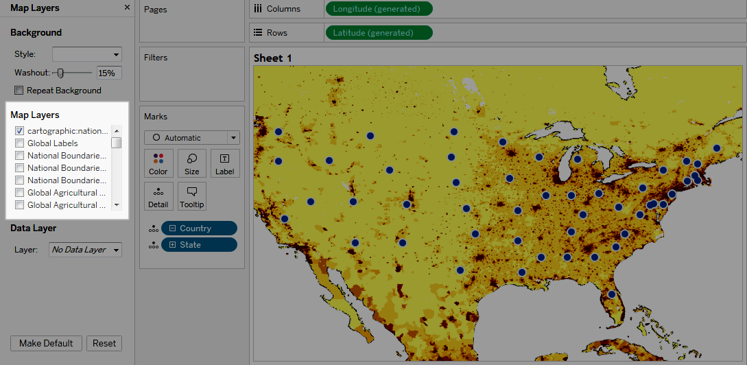
Select Map > Map Layers, and then select the map layers you want to show in the view.
For more information, see Customise How Your Map Looks(Link opens in a new window).

Performance considerations
The content, speed, and performance of a WMS server is reliant on the network and WMS provider. If your Internet connection is interrupted or if you're working behind a restrictive firewall, you can use the Offline background map that comes installed with Tableau Desktop to avoid any performance issues while you build your map view. You can switch back to your WMS server at any time.
Note: With the offline background map, you might only be able to access up to four levels of zoom. For more information, see Select Background Maps(Link opens in a new window).
Supported Spatial Reference Systems
Tableau automatically supports the following list of Spatial Reference Systems (SRS) / European Petroleum Survey Group (EPSG) codes. WMS servers must support at least one of the following spatial reference systems to be compatible with Tableau mapping features.
Supported SRS/EPSG Codes in Tableau: |
3857 - WGS 84 / Pseudo-Mercator [DEFAULT] 4326 - WGS 84 4269 - NAD83 3824 - TWD97 3889 - IGRS 4019 - Unknown datum based on the GRS 80 ellipsoid 4023 - MOLDREF99 4030 - Unknown datum based upon the WGS 84 ellipsoid 4031 - Unknown datum based upon the GEM 10C ellipsoid 4046 - RGRDC 2005 4075 - SREF98 4081 - REGCAN95 4126 - LKS94 (ETRS89) 4130 - Moznet 4140 - NAD83(CSRS98) 4148 - Hartebeesthoek94 4151 - CHTRF95 4152 - NAD83(HARN) 4163 - Yemen NGN96 4166 - Korean 1995 4167 - NZGD2000 4170 - SIRGAS 1995 4171 - RGF93 4172 - POSGAR 4173 - IRENET95 4176 - Australian Antarctic 4180 - EST97 4189 - REGVEN 4190 - POSGAR 98 4258 - ETRS89 4283 - GDA94 4319 - KUDAMS 4612 - JGD2000 4617 - NAD83(CSRS) 4619 - SWEREF99 4627 - RGR92 4640 - RRAF 1991 4645 - RGNC 1991 4659 - ISN93 4661 - LKS92 4667 - IKBD-92 4669 - LKS94 4670 - IGM95 4674 - SIRGAS 2000 4686 - MAGNA-SIRGAS 4687 - RGPF 4693 - Nakhl-e Ghanem 4694 - POSGAR 94 4702 - Mauritania 1999 4737 - Korea 2000 4742 - GDM2000 4747 - GR96 4749 - RGNC91-93 4755 - DGN95 4756 - VN-2000 4757 - SVY21 4758 - JAD2001 4759 - NAD83(NSRS2007) 4761 - HTRS96 4762 - BDA2000 4763 - Pitcairn 2006 4764 - RSRGD2000 4765 - Slovenia 1996 102100 - WGS 84 Web Mercator (Auxiliary Sphere) |
See also:
Use Mapbox Maps(Link opens in a new window)
Save a Map Source(Link opens in a new window)
Import a Map Source(Link opens in a new window)
